Summary
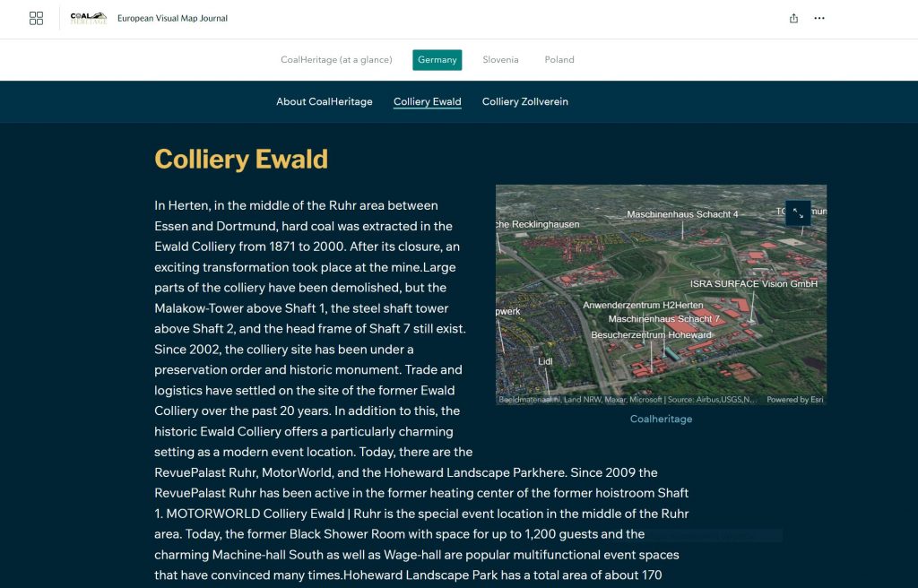
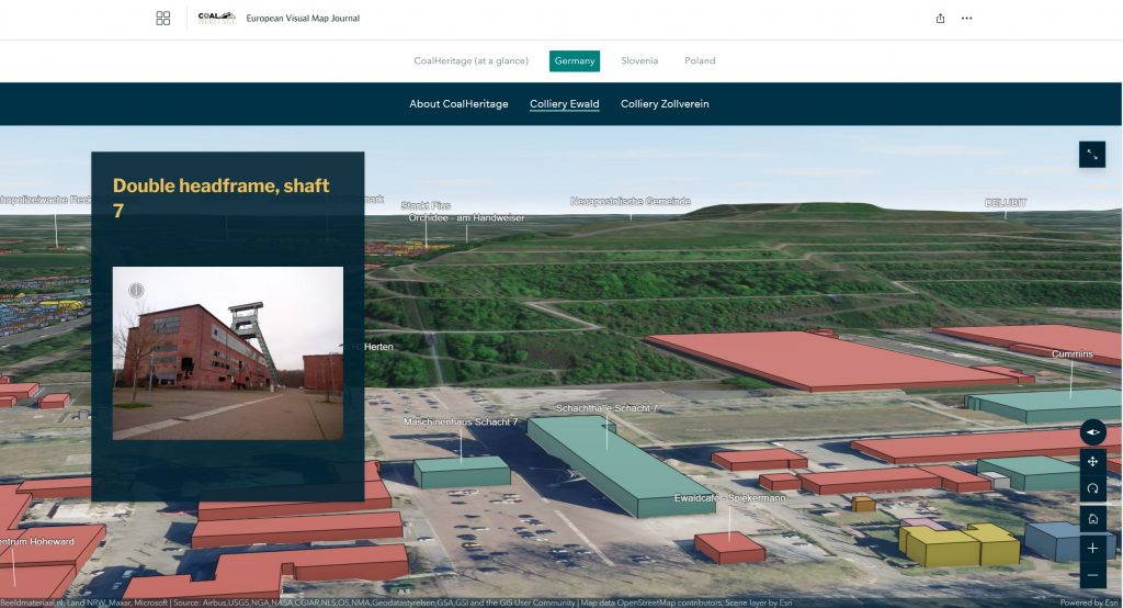
The European Visual Map Journal (EVMJ) platform is the main outcome of WP4 of the CoalHeritage RFCS AM Project, that can be described as an interactive tool which intends to provide better knowledge of post-mining coal heritage on selected territories (e.g. Colliery Ewald in Germany, Fig. 1 & 2), through representation and visualisation of information, which will motivate stakeholders to learn more and/or visit coal mining heritage sites.
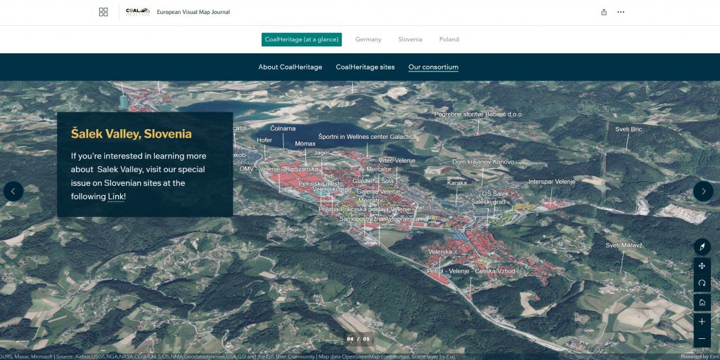
The launch of the EVMJ will allow the users to have access to the coal mining history (technological). It will provide better knowledge of coal post mining heritage on selected territories (Colliery Ewald), including informative texts (Fig. 1), visual maps (Fig. 2) and existing geospatial data in accordance to its historical evolution. Also the EVMJ will help local authorities and stakeholders to easily have access and navigate the database, which will be maintained during and after the end of the project for future use.
Objectives
The EVMJ is dedicated to the implementation of an online geographic information system (web-GIS) that will be illustrated through innovative and friendly-user storytelling maps providing i) custom interactive maps, ii) visual appeal and iii) strong sense of coal heritage place, on specific case studies corresponding to post-mining areas with different geographical, spatial and descriptive characteristics.
Through the created interactive maps, every user will have access to view selected post-coal mining information graphically and geographically (Fig. 3). The user will be in position to check i) how close is to a coal heritage property (geolocation) regarding its geometry (point polygon or polyline), ii) valuable/important information about the site exploring through internet explorer the surrounding area (by clicking on any data points or areas providing further detailed information), iii) keep up to date to existing and new-entry post mining areas characterized as national heritage and iv) specific data layers that could be active (viewable) or not in order to appear on top of the map viewer.
The (EVMJ) will be maintained for the duration of the project (2 years) and, to ensure its maintenance, as well as the maintenance of the network, the consortium will seek additional funding that will involve and maintain the results of CoalHeritage and their impact.
Explore the EVMJ Platform
In order to explore and obtain a better knowledge of post-mining coal heritage on selected territories, through representation and visualisation of information on the EVMJ platform and learn about their rehabilitation and reclamation progress along with the best practices that have been implemented around the world please click on the EVMJ Platform button below.